Finding a good map of continents and oceans that's ready to print not easy. Teachers want it for classroom. Kids need easy view for homework. Making learning geography fun and interactive challenge, but a clear, simple map helps a lot.
We bring a bit of fun into learning about geography with printable maps. These maps have clear labels for all the continents and oceans, making it a breeze for anyone to learn and identify them. They're designed to be both a teaching tool and a test – add your own labels or have a go at naming without peeking. Handy and educational, these printables are perfect for classroom use or homework assignments.

 Continents And Oceans Map Printable
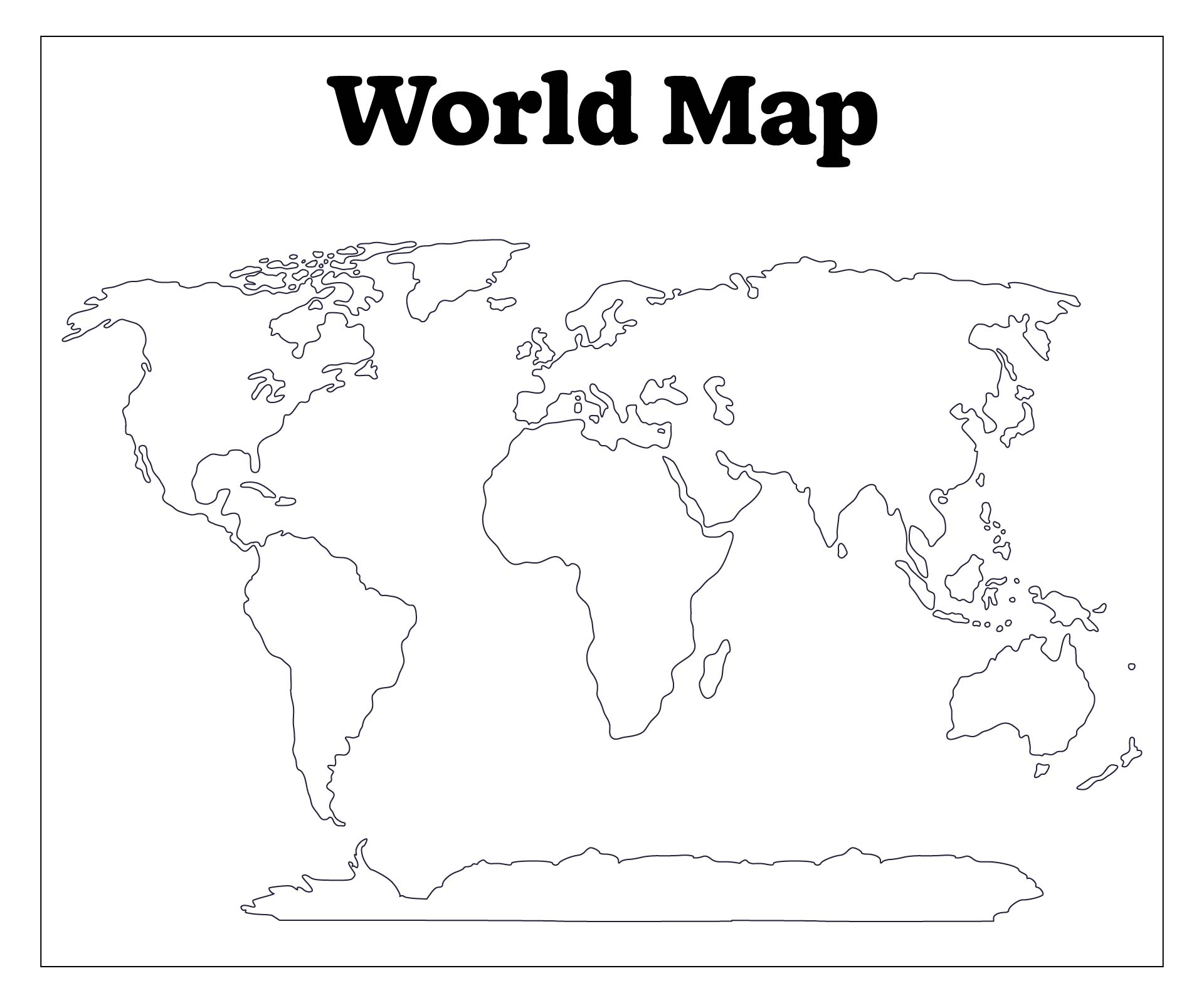
 Unlabeled World Map Continents and Oceans

 World Map Continents and Oceans Quiz

 Printable Blank World Map Continents

 Continents and Oceans Map Quiz Printable

 Printable Blank World Map Continents Oceans

 Continents And Oceans Map Of The World Printable

 Fill In The Blank Continents And Oceans Map Printable

 Blank Continents And Oceans Map Printable

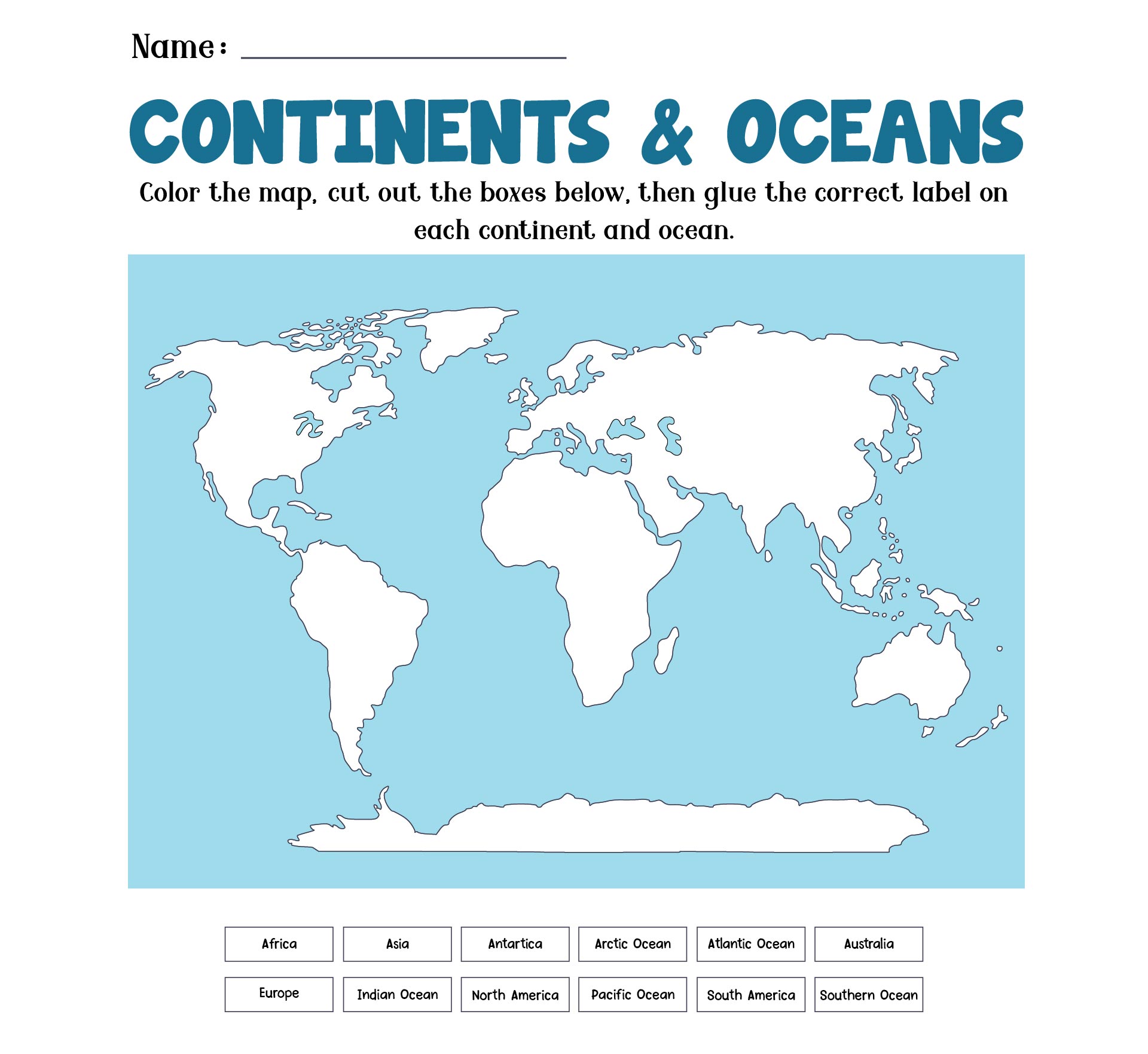
 Continents And Oceans Map Worksheet

 Continents And Oceans Map For 2nd Grade
Understanding continents and oceans is very important for children. The reason is, it is one of the basic geography in school lessons. By understanding continents and oceans, children will be able to know the environment and the earth. They can also help to preserve nature in a positive way.
Therefore, you need to teach children about world map and its continents and oceans using these fun ways.
All of these ways are related to Montessori play. What's that? So, Montessori play is a learning method for children that is different from the various types of regular learning methods. This method is very effective in helping children explore various objects and activities around them.
This method was created by Dr. Maria Montessori in 1900. This method allows children to freely choose whatever they want to learn. This learning focuses on experimentation, learning tools, a prepared environment, one on one lessons, and peace education.
This method can also be done for various ages of children. So, you can apply the method above to introduce preschoolers to continents and oceans. In geography, the Montessori method plays a role in explaining the creation of the Earth, the universe, and the solar system in an easier and more enjoyable way.


Have something to tell us?
Recent Comments
A printable continents and oceans map provides a useful and educational tool for learning about the world's geography, allowing individuals to easily identify and understand the different continents and oceans.
This printable continents and oceans map is a great tool for learning geography. It's practical and easy to use!
This printable resource is a helpful and visually appealing map! It's a great tool for learning about continents and oceans.