As a part of global citizenship, the student needs to understand the geography of the world they live in. Through the Printable World Map for Students, the learners could visualize the continents, oceans, and the border between them. Packed with various exciting activities, these printables offer an intriguing geography lesson. Its simplicity also helps the teachers in preparing the lesson in a short time.
A world map is a flat two-dimensional representation of the Earth that contains various geographical information, such as countries, oceans, continents, physical features of the Earth, and more. By using the Printable World Map for Students, learners could learn, get familiar with, and finally be able to use the world map in real life situation.


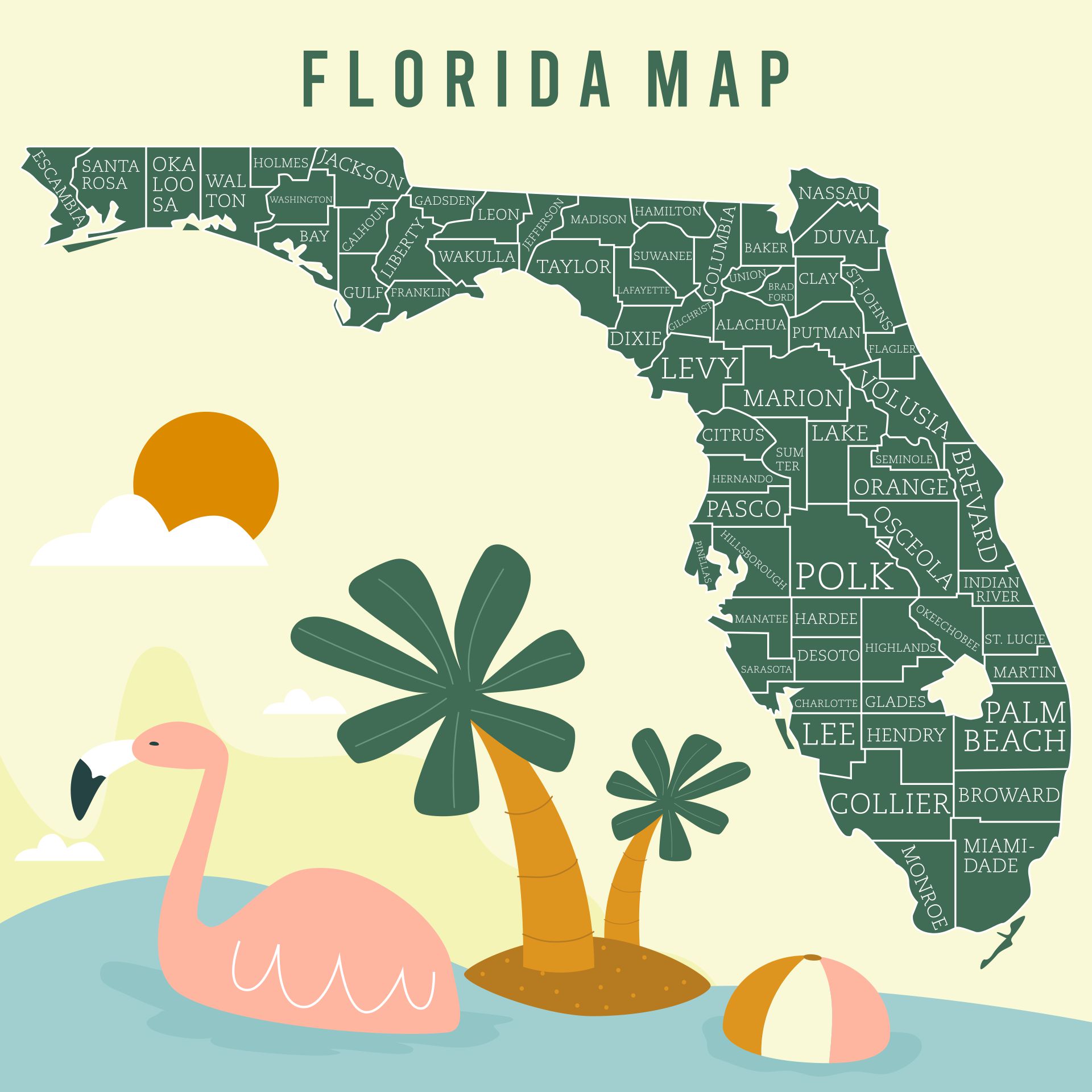
 Geography Learning Map Printable

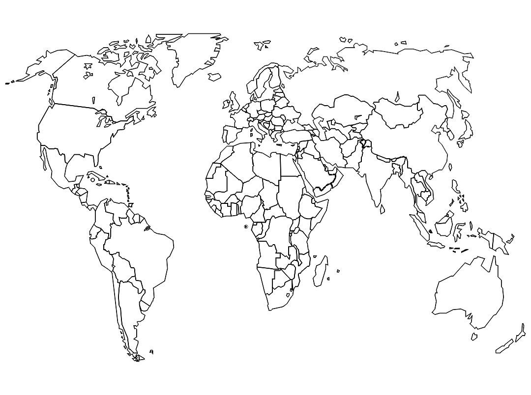
 World Map Quiz Printable

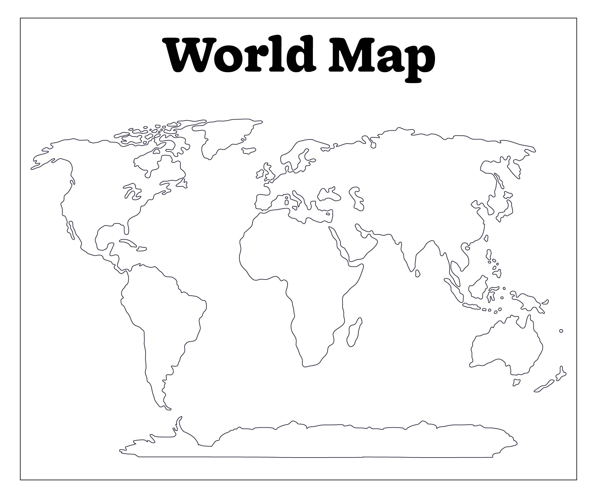
 Political World Map Poster

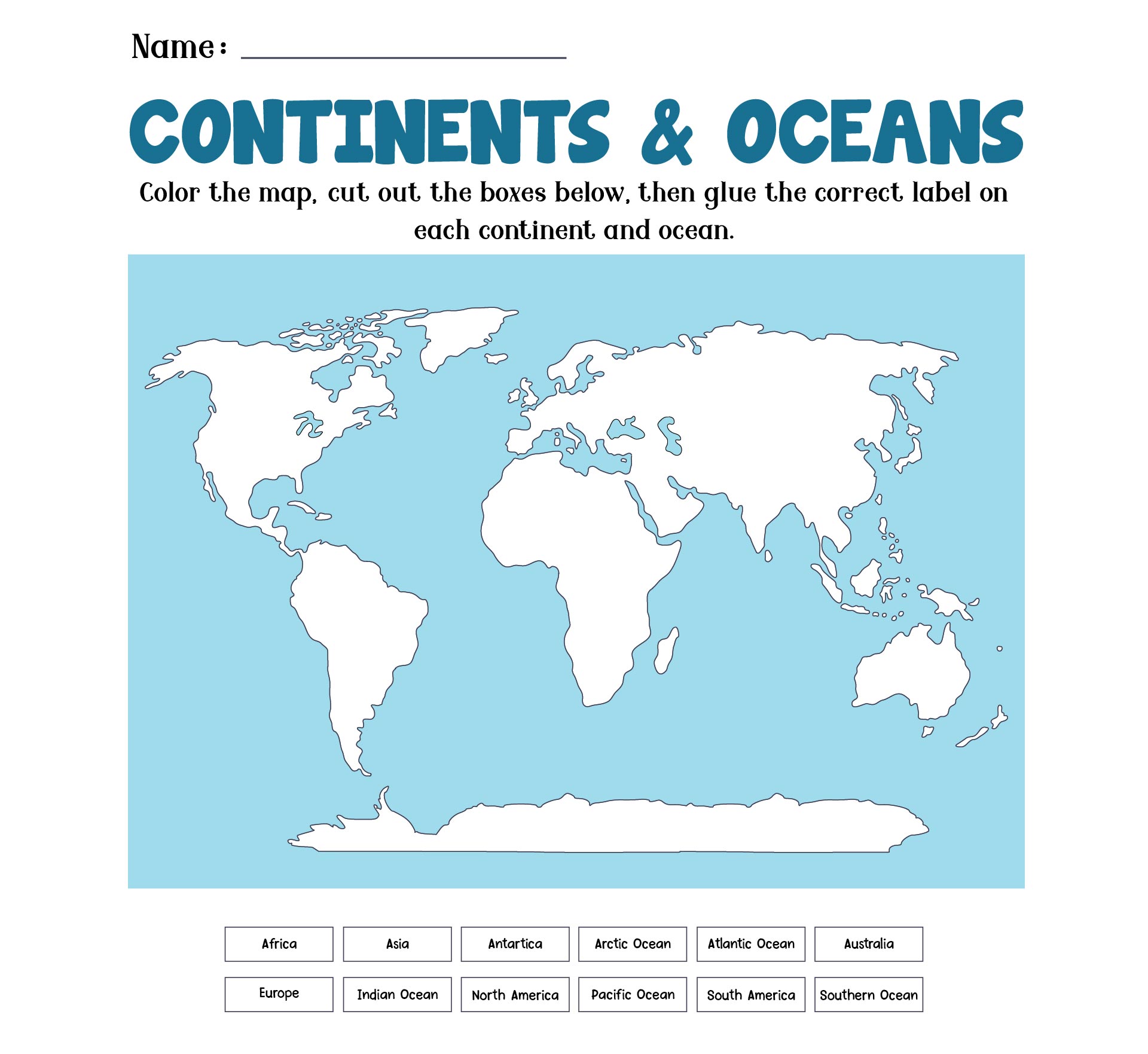
 Label The World Map Worksheet

 Homeschool Geography Printables

 Cut And Paste Continents Worksheet

 Map Skills Worksheets For Students

 7 Continents Map Activity

 World Map Matching Worksheet

 Flags Of The World Printable Activity
The Printable World Map for Students has a lot of content that will effectively aid and guide the students in learning geography. The various types of printables range from informational sheets to worksheet-style of printable. Here are some contents that can usually be found in a world map printable for students:
Maps have been an essential navigation tool for centuries of human history. The first ever world map was drawn on a stone tablet and dated between 6th and 8th BCE (Before the Common Era). Over time, the world map evolved and became more detailed and even digitalized, like what we know these days.
Understanding how to read a map is essential for students, especially if it is taught in the early years of school. Some might argue that learning a world map is useless in the current computerized era. However, many researchs has proven that learning a world map or a map in general could provide various benefits for its learners. Here are some of them:
Overall, learning a world map has anabundance perks for the students both in an educational way or in real-life situations. A world map gives students a visualization of the world they live in. Understanding the world map also means understanding the relationship between humans and the nature that surrounds them.
The Printable World Map for Students is a well-designed educational printable that could help teachers. Conducting a geography class with these printables will lessen the teaching load and burden for the teachers. Still, the teachers could also get creative by using the Printable World Map for Students. There are some classroom activities that teachers might want to apply while using these learning printables:


Have something to tell us?
Recent Comments