Printable Grids Squares

Updated on Apr 01, 2021
By Printablee Team
Printable Grids Squares
Pin It!   Printable Grids Squares
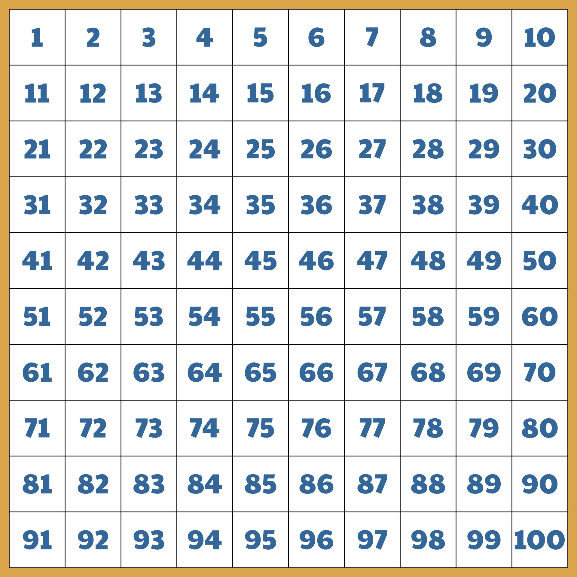
Printable Blank 100 Square Grid
Pin It!   Printable Blank 100 Square Griddownload

Introduction to Grid Squares

Grid squares are a methodical partition of geographic areas into smaller, similarly sized square units. They are sometimes referred to as grid cells or reference grid squares. To make location identification, coordinate reference, and data analysis easier, these squares are superimposed over maps, charts, and other geographic representations.

The early use of grid squares in cartography and navigation

Grid-based mapping can be traced back to some of the earliest known civilizations, including Babylonia, Egypt, and Greece. Around 600 BCE Babylonian clay tablets show how grid-like layouts were used for agricultural planning and land surveying. To divide their territory around the Nile River into manageable sections for taxation and property management, the ancient Egyptians adopted a grid system.

A Greek geographer and astronomer named Claudius Ptolemy produced the "Geographia," one of the most important maps of the ancient globe, in the second century CE. The first coordinate-based maps were produced by Ptolemy, who used a latitude and longitude grid based on the degrees of a circle.

The development of cartography throughout the Renaissance era produced more exact and thorough mapping methods. The Mercator projection, developed in the 16th century by the Flemish cartographer Gerardus Mercator, kept lines of constant compass bearing and effectively established a grid-like navigational system.

To aid sailors in navigating, grid systems were first included into nautical charts. The Portolan charts, in use from the 13th to the 17th century, were characterized by rhumb lines, a form of grid line that displays lines of continuous compass direction. These lines made navigating simpler. The concept of latitude and longitude lines, which resembled a grid, was utilized more frequently in the 17th century. The ability to precisely represent locations on the Earth's surface provided by these lines facilitated accurate exploration and navigation.

Military engineers in the 18th and 19th centuries added grid systems to their topographic maps to improve troop movements, logistics, and strategic planning. Grid-based mapping and navigation advanced with the development of computers and geographic information systems (GIS) in the 20th century. Midway through the 20th century, a global grid-based coordinate system called the Universal Transverse Mercator (UTM) system was created for both military and civil use.

Grid squares and coordinate systems are fundamental elements of modern cartography and navigation today, enabling precise location referencing, effective route planning, and accurate mapping in a variety of contexts and applications.

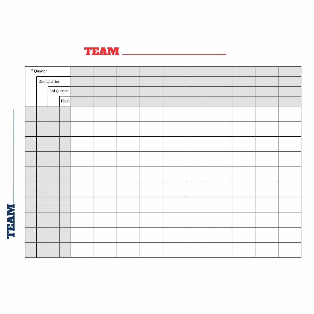
Blank 100 Square Football Pool
Pin It!   Blank 100 Square Football Pooldownload

We also have more printable other you may like:
Printable Bridal Shower Scattergories
Printable Coordinate Picture Graphs
Basic Color Wheel Printable

Blank 100 Square Grid Paper
Pin It!   Blank 100 Square Grid Paperdownload
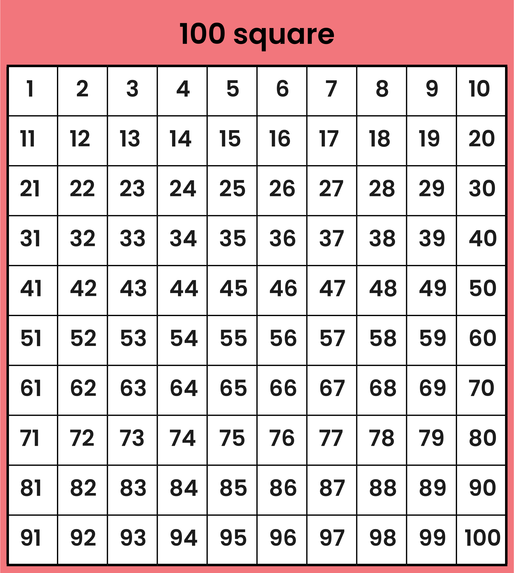
Grid with 100 Squares
Pin It!   Grid with 100 Squaresdownload
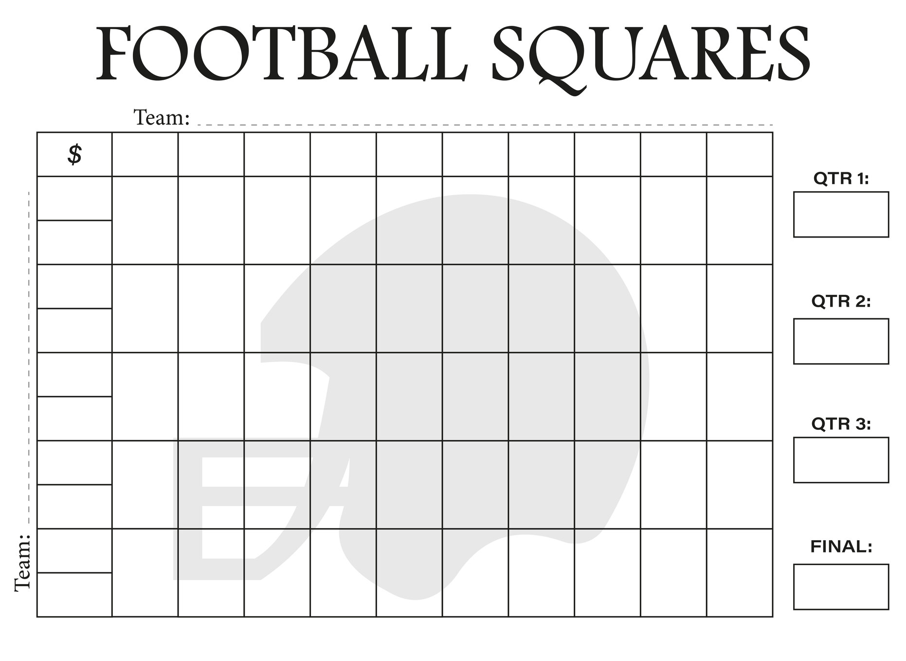
Printable Football Square Grid
Pin It!   Printable Football Square Griddownload
25 Square Football Pool Grid
Pin It!   25 Square Football Pool Griddownload
Square Grid Paper
Pin It!   Square Grid Paperdownload
Super Bowl Squares Grids
Pin It!   Super Bowl Squares Gridsdownload
Math Grids With 100 Squares
Pin It!   Math Grids With 100 Squaresdownload
Creative Grids Curves For Squares Ruler
Pin It!   Creative Grids Curves For Squares Rulerdownload

Grid Squares in Urban Planning

Grid squares provide a planned and ordered approach to urban design, playing a vital part in city planning and construction initiatives. To create efficient and useful urban settings, they offer a methodical framework for dividing and arranging land parcels, roadways, and infrastructure.

Street layout and urban design

The arrangement of streets is based on grid squares, which result in a network of streets that cross to form regular blocks. Regular grids provide a simple and user-friendly road network, decreasing traffic and facilitating quick access to various regions of the city. 

Zoning and land use

The creation of zoning laws and land use planning is made easier by grid squares. Based on variables including population density, business zones, residential areas, industrial zones, parks, and green spaces, zoning laws are frequently applied to certain grid squares in different ways. Grid squares are used in the planning and design of infrastructure, including public utilities, transportation, and services. The regular layout makes it easier to install electrical, plumbing, and water systems, which lowers construction and maintenance expenses.

Management and density

Land parcels may be divided into regular forms using grid squares, which simplifies and organizes land management. Property borders that are clearly marked make it easier to transfer title and settle land disputes. Grid-based patterns frequently support increased land use densities because they enable better use of available space. Greater access to amenities, less urban sprawl, and more walkable areas can all result from increased density.

Future growth and expansion

The grid layout makes it possible to design projects with a variety of uses, including close proximity of residential, commercial, and recreational areas. Having a variety of activities within walking distance promotes a diversified and lively urban environment, which is encouraged by mixed-use projects. Grid squares can be created with future growth in mind, enabling urban expansion and shifting urban needs over time. Flexible grids may change to accommodate changing demographics and demands.

Public safety

Grid squares may have visually pleasant proportions and include parks, plazas, and other open areas. Public areas that are thoughtfully designed improve both the quality of life for locals and tourists. Grid-based streets facilitate emergency response and public safety operations by giving emergency vehicles logical and predictable paths.

Potential future developments

Grid squares might become more self-sufficient, more efficiently managing their energy generation, distribution, and consumption. Artificial intelligence, machine learning, and blockchain technology advancements may enable grid squares to make real-time choices on energy production and demand response, resulting in more stable and dependable grids.

Grid squares might include a greater spectrum of renewable energy sources, such as next-generation solar panels, sophisticated wind turbines, and cutting-edge energy storage systems. Low-cost, high-performance energy storage technologies will be critical for balancing the intermittent nature of renewable energy sources. Because of the rising reliance on linked grid squares, grid resilience and cybersecurity will be critical. Quantum encryption and powerful AI-driven cybersecurity solutions will be vital in securing key energy infrastructure.


More printable images tagged with:

See Also
v
Printable Pumpkin Poop Cheese Balls
5

Printable Pumpkin Poop Cheese Balls

Printable Blank Recipe Pages
10

Printable Blank Recipe Pages

Rainforest Printables For First Grade
10

Rainforest Printables For First Grade

Hidden Object Printable Activities
6

Hidden Object Printable Activities

Printable Blank Name Plates
8

Printable Blank Name Plates

Barbie Doll Food Printables
10

Barbie Doll Food Printables